Blizzard Conditions Expected in Toms River as Major Winter Storm Moves Into Ocean County
Heavy snow, strong winds, and whiteout conditions are expected to impact travel across Toms River and surrounding communities through the next 24 hours. Officials are urging residents to stay off the roads unless absolutely necessary.
BTR Scanner News··Updated Feb 23 • 1:50 PM ET·2 min read
Blizzard Conditions Expected in Toms River as Major Winter Storm Moves Into Ocean County
Heavy snow and strong wind are expected to combine into whiteout conditions at times. Travel may become dangerous quickly, and residents are being urged to stay off the roads unless absolutely necessary.
BTR Scanner News
•
Location: Toms River / Ocean County
•
Last Updated:2/21/2025 1:34PM
What You Need to Know (Quick Hits)
Blizzard-like conditions possible: periods of near-zero visibility in heavier snow and blowing/drifting snow.
Travel impacts: roads can go from “wet” to “covered” fast when bands intensify; allow extra stopping distance.
Wind: gusts may cause drifting, reduced visibility, and scattered power issues in spots.
Plows/emergency response: expect slower response times during peak conditions; keep roadways clear for crews.
TOMS RIVER, N.J. — A powerful winter storm is moving through the region and is expected to bring blizzard conditions to Toms River and surrounding parts of Ocean County. Forecast models show periods of heavy snowfall paired with strong wind — the combination that can produce whiteouts, rapidly deteriorating road conditions, and difficult travel even on main routes.
The most dangerous window is typically when snowfall rates peak and winds ramp up — visibility can drop quickly, and plows may struggle to keep up during heavier bands. If you have to travel, be prepared for sudden slowdowns, stalled vehicles, and slick secondary roads that become impassable faster than expected.
Local Impacts We’re Watching
Route 37 / Route 9 corridors: congestion and reduced visibility during peak snow bands.
Side streets: drifting and untreated spots can become impassable quickly.
Coastal/open areas: stronger gusts can create sudden whiteouts due to blowing snow.
Power/trees: wind may cause isolated outages; keep devices charged and flashlights ready.
Scanner & Response Notes (As Conditions Worsen)
As the storm ramps up, we typically see a spike in calls for MVAs, disabled vehicles, medical calls, and wires/trees down.
Please give plows and emergency vehicles space — and avoid stopping on shoulders unless absolutely necessary.
If you see a hazard:
Stay inside your vehicle if you’re safe and visible to traffic.
Use hazards, keep a safe distance from the roadway.
Call 911 for emergencies; for non-emergencies, follow your local PD guidance.
Safety Checklist
Charge devices and keep backup batteries/flashlights ready.
Move cars off streets when possible to help plowing operations.
Stock essentials (meds, baby supplies, pet food) before conditions peak.
Check on neighbors — especially seniors and anyone with limited mobility.
Shoveling: take breaks, hydrate, and don’t overexert in heavy snow.
Reminder: If you’re running a generator, keep it outside and away from doors/windows to prevent carbon monoxide buildup.
Closures & Travel Impacts
We’ll update this section as local announcements come in.
BTR Scanner News now automatically displays official National Weather Service warnings, watches, and advisories for Toms River in real time, helping keep the community informed during severe weather events.
Israel and the United States have launched coordinated military strikes against targets in Iran, according to multiple live reports. Explosions were reported in Tehran and other locations, with officials saying the operation is targeting military and strategic sites.
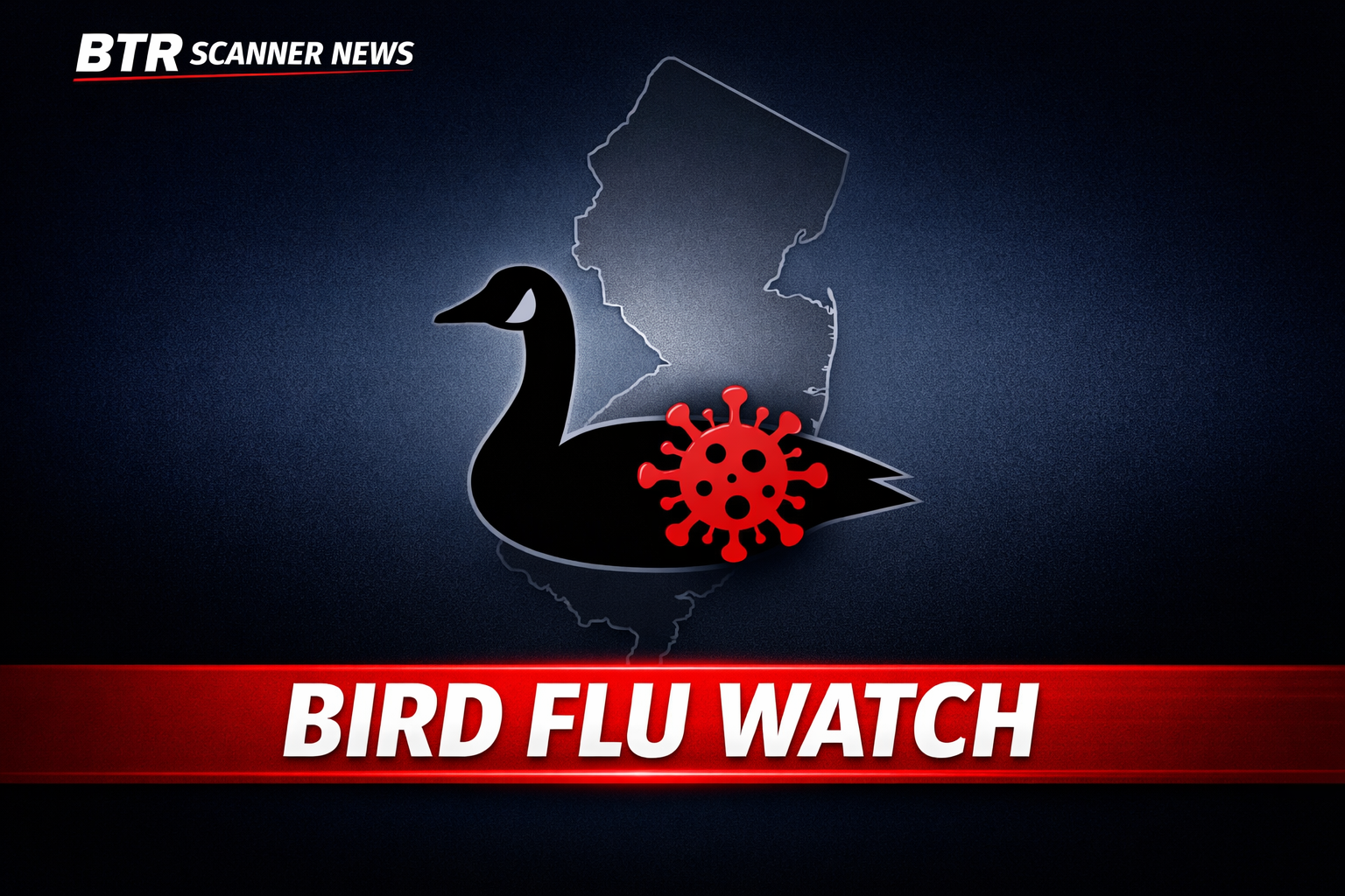
Officials are monitoring a suspected bird flu situation in New Jersey after a surge in reports involving sick and dead wild birds. Public risk remains low, but caution is advised.